Geographical maps
The map collection includes around a thousand maps, in black and white and color, printed between the 16th and 21st centuries.
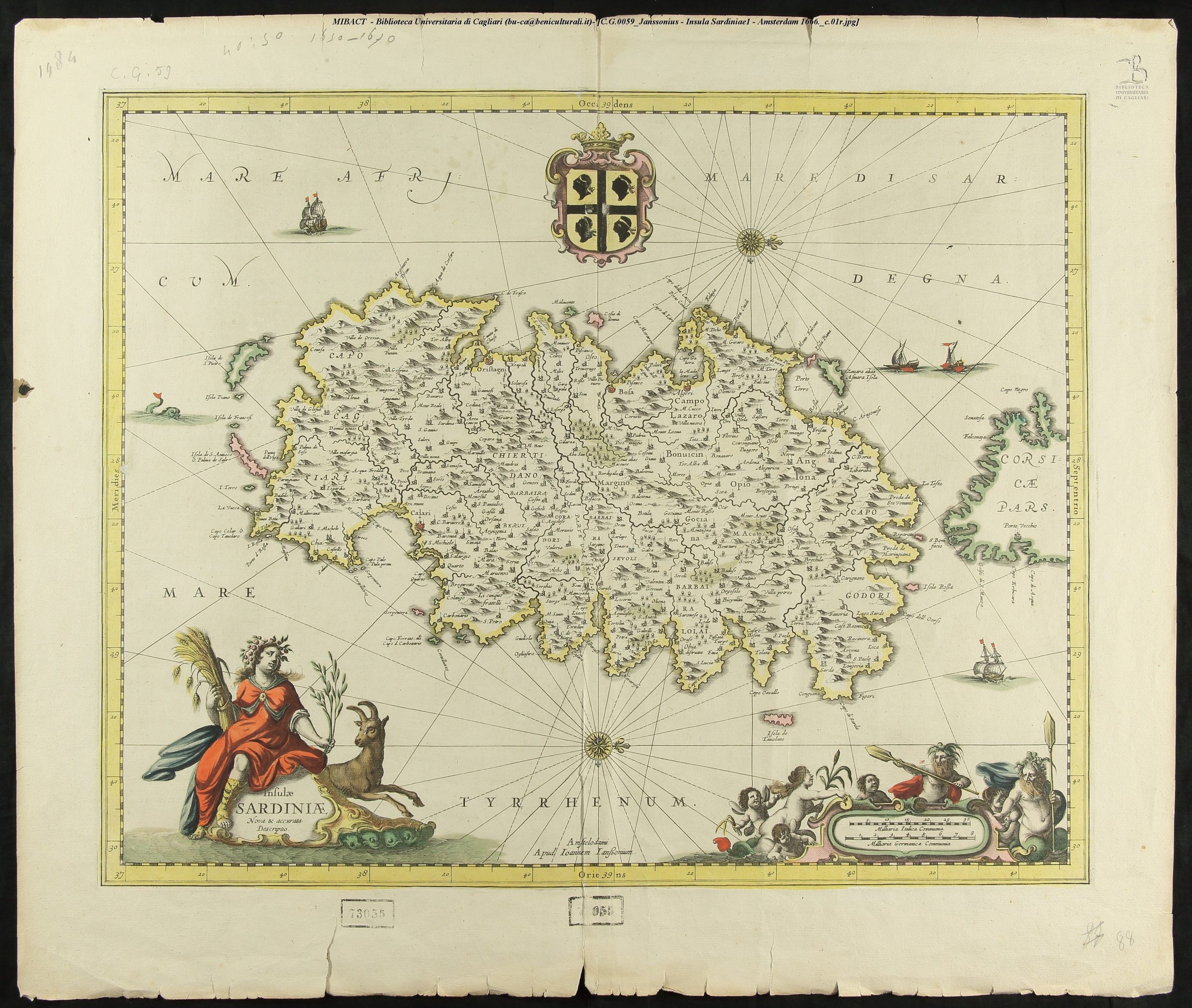
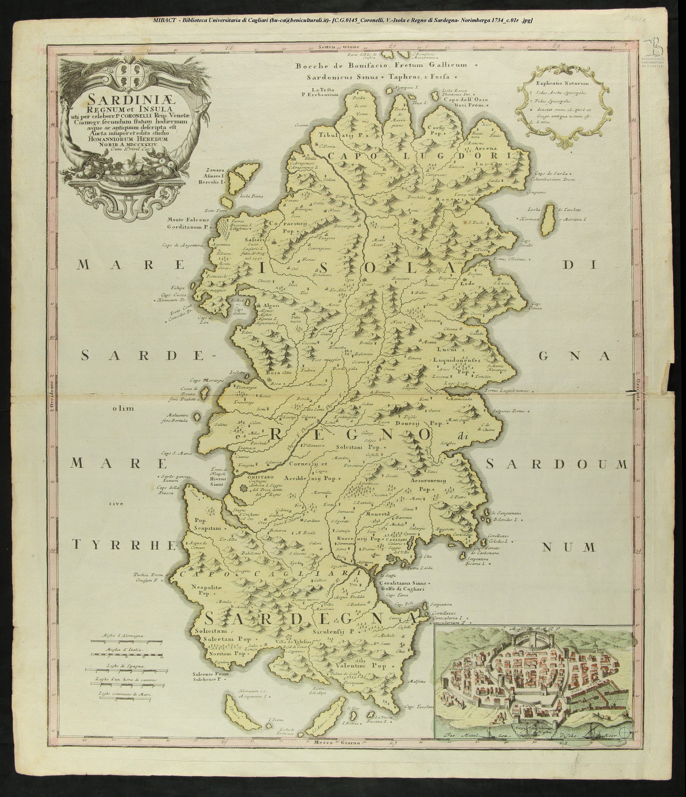
There are numerous maps of Sardinia, including those by the Dutch cartographers Jansson and Mercator, the Frenchman Sanson (1600-1667), cartographer to the King of France, the Germans Seutter and Homann, and the Italian Coronelli (1650-1718), cosmographer of the Republic of Venice.
Among the cartographic production of the 1800s, it is worth mentioning the Carte géologique de l’Ile de Sardaigne and the Carta dell’Isola di Sardegna coll’indicazione delle nuove strade by General Della Marmora (1789-1863), printed in Paris in 1853 and Turin in 1856, respectively, as well as the maps published by the Hydrographic Institute of the Navy in Genoa. In the 20th century, however, an important place is occupied by the official cartography of the Military Geographical Institute of Florence.
The collection also preserves a group of 70 sixteenth-century maps of particular importance, as they make up what remains of the Lafreri Collection. Antonio Lafreri (1512-1577), a printer and publisher active in Rome, is of great importance in the history of Italian cartography, having been the first to market modern maps on a large scale, most of which were printed in his own workshop. This collection includes, among other things, several maps by the Venetian cartographer Giacomo Gastaldi (c. 1500-1566).